
Build a Photo Point That Can Tell You Something
A fixed photo point will not explain everything happening on a range. It can show whether the land is changing—if the method is repeatable.

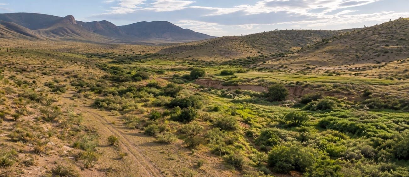
A fixed photo point will not explain everything happening on a range. It can do something more basic and often more useful: show whether the land is changing.
Land managers make decisions in places where memory is unreliable and conditions vary from year to year. A pasture can look better after rain and worse in drought even when management has not changed. A dramatic patch can dominate attention while the representative ground goes undocumented.
Repeat photography creates a simple record that can be compared through time. USDA guidance describes photo monitoring as one of the easiest ways to document changes in vegetation and soil. The method is inexpensive, but it only becomes evidence when the photographs are repeatable and tied to a management objective.
1. Begin with a question
Do not start by photographing everything. Decide what you need to learn.
Examples include whether bare ground is shrinking, streambank vegetation is increasing, a gully is stabilizing, residual forage is being maintained, or a treatment is changing woody cover. A specific objective determines where the point belongs and what the image must show.
2. Choose a representative place—and name the exceptions
Select a location that represents the management unit, not the best or worst patch. If a problem area matters, establish a separate point for it and label it as a special site.
Record why each point was chosen. Note the pasture or unit, GPS coordinates, access directions, soil or ecological site when known, and the management question. A future observer should be able to find the place without you.
3. Make the camera position repeatable
Mark the camera point with a durable stake or a stable reference. Record the compass bearing toward the center of the photograph. Include a distinctive horizon or landmark. Note camera height, orientation, and focal setting if possible.
USDA Forest Service guidance emphasizes three essentials: maps that relocate the sampling point and layout, documentation of purpose and conditions, and precise replication. Consistency is what turns a picture into a time series.
4. Pair the landscape with the ground
Take at least one landscape image and one close-up.
The landscape view can show vegetation structure, woody encroachment, channel form, or broad bare-ground patterns. A close-up or fixed plot can show litter, basal cover, soil exposure, and small gaps that disappear in a wide photograph. Include a scale and an identification card with the date, point, direction, and management unit.
5. Repeat at the same season and stage
Return at a comparable time of year and, where practical, a comparable stage of plant growth. Similar light and time of day make the record easier to read. Keep the original images and notes available in the field so the next photograph matches the earlier framing.
Record unusual conditions: drought, a wet spring, recent grazing, fire, flood, treatment, or equipment disturbance. The photograph shows change; the notes help interpret context.
6. Do not ask photographs to prove cause
Photo points can reveal trend. They rarely establish why the trend occurred.
More bare ground could reflect grazing pressure, drought, wildlife concentration, fire, or several forces together. Pair photographs with rainfall records, grazing dates and numbers, treatment records, and—when the decision requires it—formal measurements such as line-point intercept, gap, or cover data.
7. Connect the record to a decision
A monitoring archive that never changes management is only an archive.
Before the next season, compare the images with the stated objective. Decide what would justify maintaining, modifying, or stopping the practice. Write that decision beside the record. USDA’s adaptive-management guidance makes the feedback explicit: monitor results and adjust when outcomes depart from the goal.
A fixed photo point does not need to be sophisticated. It needs to be findable, repeatable, honest about its limits, and connected to a decision.
Technical sources: USDA Forest Service, Photo Point Monitoring Handbook; USDA NRCS, Grazing Land Photo Monitoring; USDA Climate Hubs, Adaptive Grazing Management for Resilient Northwest Rangelands.
