
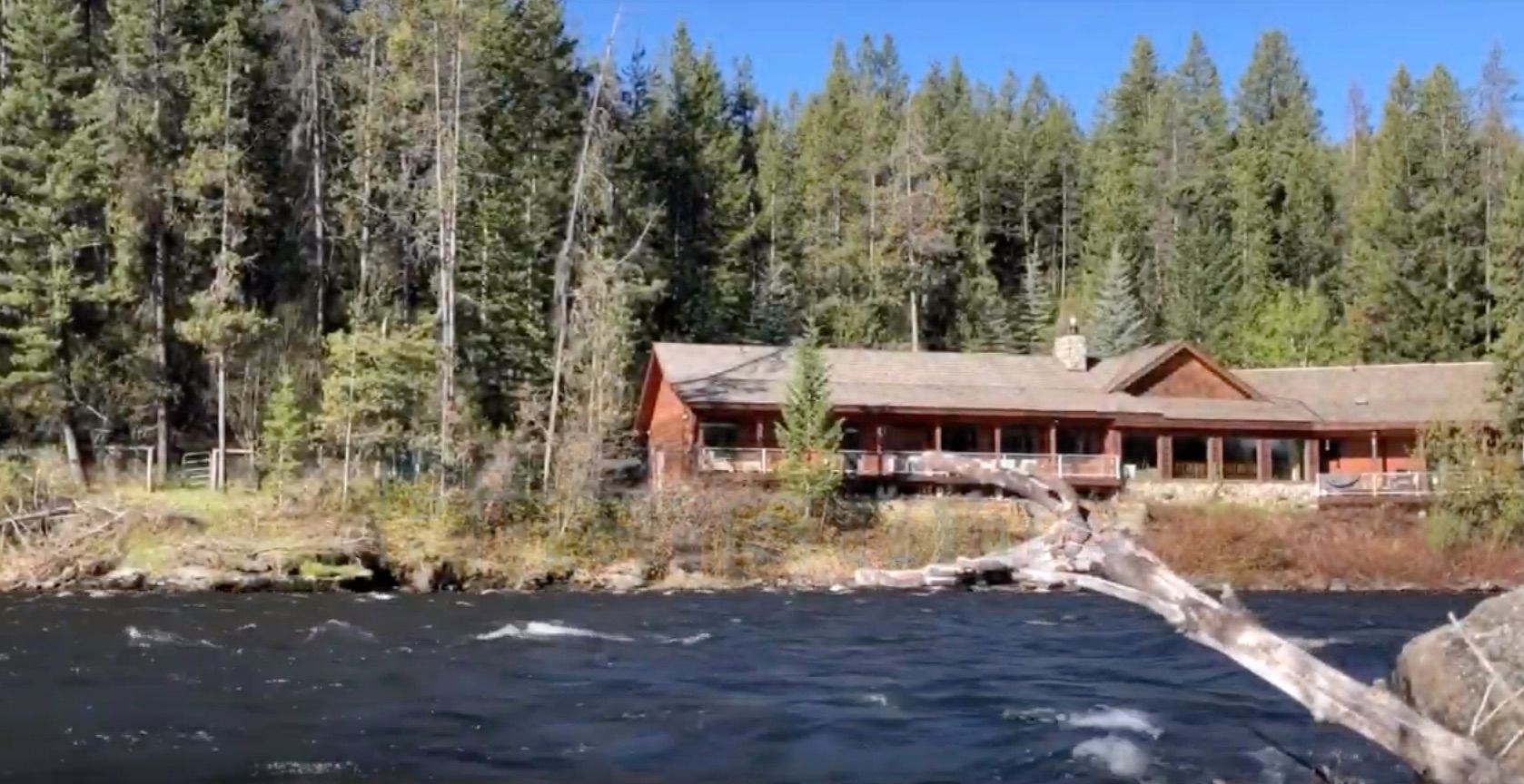
Pitchstone Waters, by Shawn Vickers
Shawn Vickers does mapping and wildlife planning for many ranches and public lands in North America, East Africa and the British Isles. He filmed, edited and wrote the music for this little video.

Shawn Vickers is one of those guys who was using mapping technology to manage wildlife and ranchland long before everybody started carrying a GPS around in their pocket.
Shawn understands landscapes at scale. He understands wildlife, habitat, mapping, and the technology we use to make better decisions about all three. And he’s been doing it long enough to remember when most of this technology was considered pretty damn cutting edge.
And he put this background to work when he created this video about Pitchstone Waters ranch....
Shawn is a founding partner of Wildlife Information Systems, a science-based software company focused on wildlife and land management, and he’s spent roughly 30 years working with mapping, aerial photography, and geographic data. More importantly, he figured out early on that GIS and GPS technology could be put to practical use on working ranches and wildlands—not just sitting behind a desk making pretty maps.
Today, Shawn consults on the management of more than 15 million acres of ranchland and wild country across Texas and North America. That’s enough dirt to give him a pretty good idea of what works, what doesn’t, and what sounds good in a conference room but falls apart once you actually get out on the land.
His work has taken him well beyond North America, too. Shawn has worked in Africa as a contributing cartographer for the Serengeti ecosystem in collaboration with the University of Glasgow in Scotland.
NOTE: this post was originally published to this site on June 24, 2019, and again on July 21, 2022.
